Mapping Air Quality/ Emissions Through The City, And Upgrading Road Infrastructure For AVs to Adapt to Canadian Weather
Ensure safety by having no blindspots in sensors' detections - Installing sensors alongside roads provide cars with additional information about what's happening within the roads' vicinity
Detection of jaywalkers and pedestrians patterns regardless of situations - Detections would make it more possible for AVs to understand possible hazards
Interactive road infrastructure - AVs and road infrastructure would be able to effectively communicate with each other
Non-invasive infrastructure - Upgrades do not affect the ability of conventional cars to share the same roads with AVs
Avenues for energy savings - When sensors detect no cars or pedestrians, it's possible to dim down street lights to ~20%, thus significantly reducing unnecessary energy consumption
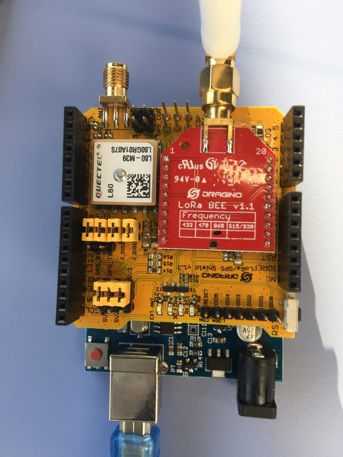
Microcontroller (acting as a node) with a GPS and LoraWAN is modules are used to collect and transmit data.
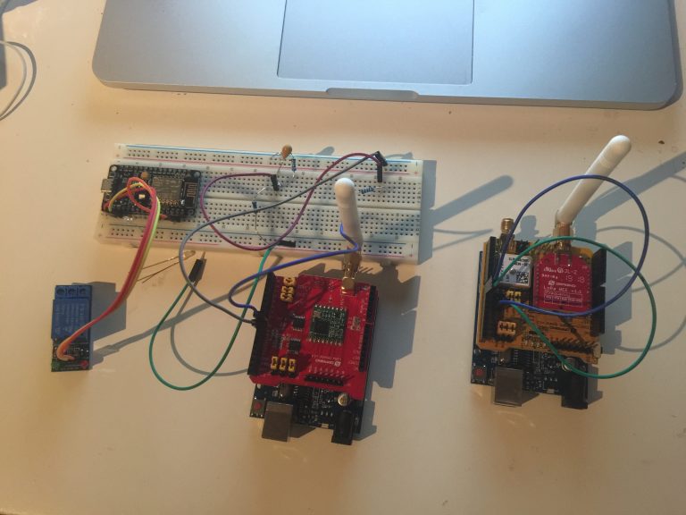
Data is transmitted to a gateway, and the data is uploaded online.
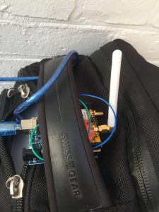
Node was mounted on my backpack, with the GPS module uncovered.
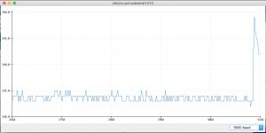
Testing out the CO sensor.
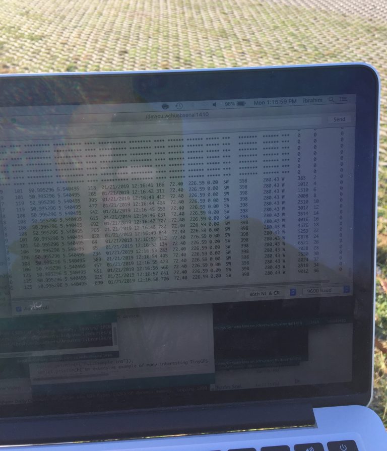
Raw GPS data, including coordinates, direction, time/date stamps, etc…
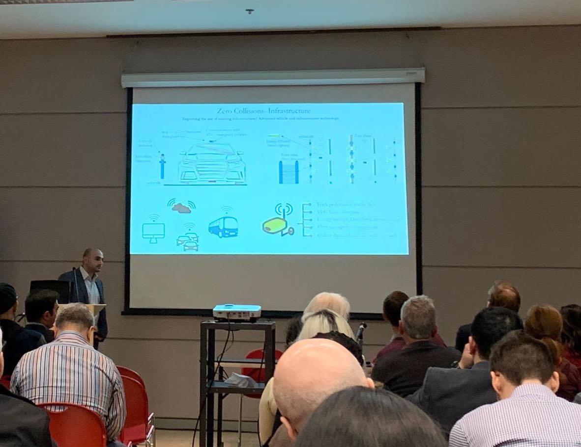
Presenting the designs.
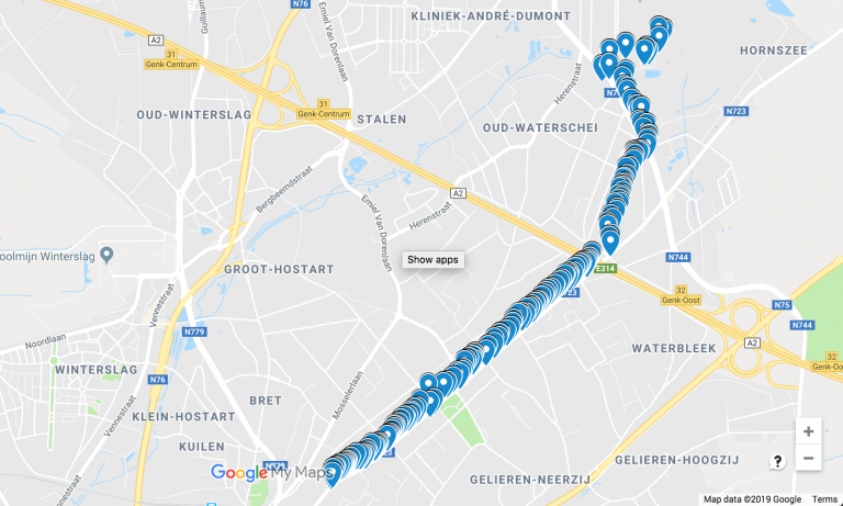
Mapping out data on Google Maps.
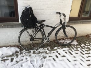
Testing setup: my cool and trustable bike! (a bit of an inside joke!!)
A similar setup to map out air quality and emissions throughout the city would be used in the electric vehicle conversion project.